

Curtin Geoscientists and Engineers Club
Powered by
Technical Talk: Remote Sensing & GIS in Mineral Exploration
All events
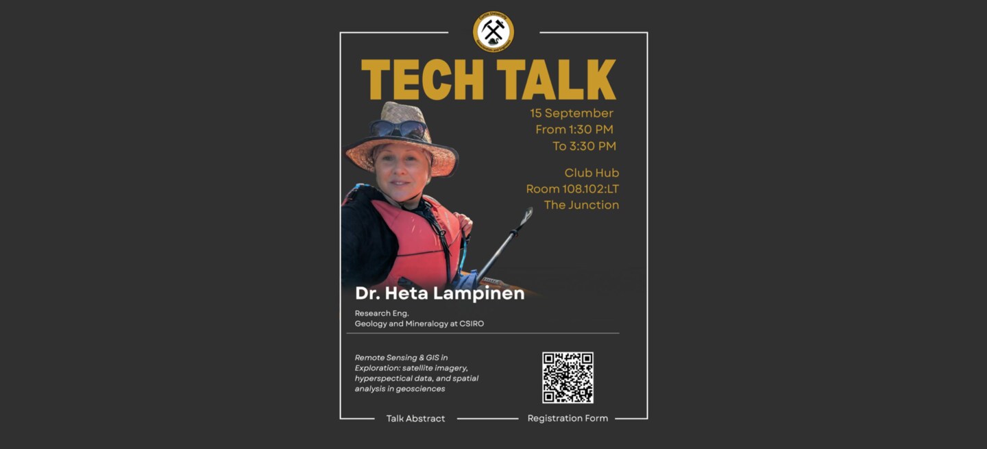
Technical Talk: Remote Sensing & GIS in Mineral Exploration
Sep
15
15-09-2026
13:30 - 15:30
Curtin University, 108.102:LT
Kent St, Bentley WA 6102, Australia
About this event
🛰️ Technical Talk: Remote Sensing & GIS in Mineral Exploration
Join us for an insightful technical talk with Dr Heta Lampinen from CSIRO Mineral Resources, exploring how satellite imagery, hyperspectral data and GIS can support mineral exploration—from early-stage targeting to field investigations.
📅 Date: 15 September
⏰ Time: 1:30–3:30 pm
📍 Venue: Curtin University: Building 108, Room 102
🍽️ Lunch will be served
Topics will include:
- Principles of exploration targeting using hyperspectral satellite and complementary geoscience data
- Mineral information obtained from PRISMA and EnMAP hyperspectral satellites
- Publicly available gravity, magnetic, radiometric, drilling and geochemical datasets
- Practical GIS mineral-map products and where to access them
- Integration of remote sensing with geological and subsurface information
- Exploration case studies from Abra and McPhee Dome
Dr Lampinen works with hyperspectral, geochemical and geophysical survey data to support geological, structural and mineral mapping across surface and subsurface environments. Her work connects satellite and airborne observations with field and core mineralogy to improve mineral-systems analysis and exploration targeting.
Whether you study geoscience, GIS, remote sensing, mining or engineering, this is a great opportunity to learn how modern Earth-observation technologies are transforming mineral exploration.
